Elsa Boyer is a Regional Operations Manager for Advanced Disaster Recovery, based in Harrisburg, Pennsylvania, overseeing commercial and healthcare restoration projects. She holds a Bachelor of Arts from Valparaiso University and a deep certification portfolio, including ICRA Certified Healthcare Remediator Supervisor and multiple IICRC designations across commercial drying, structural drying, water, and fire & smoke restoration.
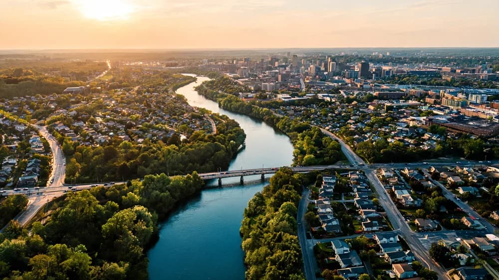
Analysis of Lehigh River flood zones in Allentown PA. Neighborhood-level data on flood risk, historical flooding events and property protection strategies.
Allentown and the Lehigh River
Allentown, Pennsylvania, the Lehigh Valley's largest city with over 125,000 residents, has always been shaped by the Lehigh River. The river flows along the city's eastern and southern borders before joining the Delaware River downstream at Easton. While the Lehigh River has been central to Allentown's prosperity, it also represents the city's greatest natural hazard: flooding.
At Advanced DRI, we provide water damage restoration and storm damage restoration services across the Lehigh Valley. Our analysis of Allentown's flood zones is based on FEMA mapping data, historical records, Lehigh County flood data, and our own service experience in the community.
Flood Zone Coverage by Allentown Neighborhood
| Neighborhood / Area | Flood Source | FEMA Zone | % in Floodplain | Risk Level |
|---|---|---|---|---|
| East Side / Lehigh Riverfront | Lehigh River | AE (floodway) | 78% | Very High |
| South Allentown / Lehigh St. | Lehigh River / Little Lehigh | AE | 62% | High |
| Little Lehigh Creek Corridor | Little Lehigh Creek | AE | 55% | High |
| Jordan Creek Area (NW) | Jordan Creek | AE | 42% | Moderate-High |
| Center City / Downtown | Urban stormwater | X (shaded) | 15% | Moderate |
| West End / Cedar Crest area | Urban drainage | X (minimal) | 5% | Low |
Sources: FEMA National Flood Hazard Layer (2024 update), Lehigh County GIS flood zone data, Lehigh Valley Planning Commission, USGS Lehigh River gauge records
The Lehigh River Watershed
Understanding why Allentown floods requires understanding the Lehigh River watershed. The Lehigh drains approximately 1,360 square miles of eastern Pennsylvania, from the Pocono Plateau down through the Lehigh Gorge, past Jim Thorpe and Lehighton, before reaching the Allentown-Bethlehem-Easton metro area.
Several factors make the Lehigh watershed particularly flood-prone:
- Steep terrain: The upper Lehigh drops nearly 1,000 feet in elevation between its headwaters and Allentown, creating rapid runoff during heavy rain
- Narrow valley: Through the Lehigh Gorge, the river is confined to a narrow valley that concentrates floodwaters
- Upstream development: Continued development in Carbon and upper Lehigh Counties increases impervious surface area and runoff
- Tributary convergence: The Little Lehigh Creek, Jordan Creek, and Cedar Creek all join the Lehigh in the Allentown vicinity, combining their flows during regional storm events
Historical Flood Events at the Allentown Gauge
The USGS has maintained a stream gauge on the Lehigh River at Allentown for over a century. Major flood crests include:
- August 1955 (Hurricanes Connie and Diane): 28.5 feet -- record crest, catastrophic flooding across the Lehigh Valley
- June 2006: 24.2 feet -- significant flooding along the East Side and South Allentown
- August 2011 (Hurricane Irene): 23.3 feet -- widespread flooding in low-lying neighborhoods
- September 2011 (Tropical Storm Lee): 19.8 feet -- second major flood in three weeks
- September 2021 (Ida remnants): 18.9 feet -- flash flooding and urban drainage overwhelmed
The Little Lehigh: An Underappreciated Risk
While the main Lehigh River gets the most attention, the Little Lehigh Creek is responsible for significant flooding in south-central Allentown. The Little Lehigh's watershed includes portions of Lower Macungie, Salisbury Township, and Emmaus, and the creek flows through Allentown's park system before reaching the Lehigh River.
Properties along the Little Lehigh corridor, particularly near the Fish Hatchery and along MLK Boulevard, are vulnerable to creek flooding that can occur independently of Lehigh River flooding. A localized thunderstorm over the Little Lehigh watershed can cause flash flooding along this corridor even when the main river is at normal levels.
Flood Preparedness for Allentown Property Owners
Based on our experience across the Lehigh Valley, Advanced DRI recommends these priority actions:
- Check your FEMA flood zone -- Lehigh County provides online flood zone lookup through its GIS portal. Know your zone designation and base flood elevation
- Purchase flood insurance early -- NFIP policies have a 30-day waiting period before coverage takes effect. Do not wait for a flood warning to buy a policy
- Elevate utilities -- Water heaters, furnaces, and electrical panels in flood-prone properties should be elevated above the base flood elevation
- Maintain drainage -- Keep gutters, downspouts, and yard drainage systems clear to handle stormwater
- Create a flood response kit -- Include waterproof containers for important documents, a battery-powered radio, flashlights, and Advanced DRI's contact information
- Know your evacuation route -- The Lehigh River can rise rapidly, and low-lying areas may become inaccessible within hours of heavy rain upstream
Advanced DRI's Lehigh Valley Response Capability
We maintain equipment and personnel positioned to respond across the Lehigh Valley, including Allentown, Bethlehem, Easton, and surrounding Lehigh and Northampton County communities. Our flood damage restoration services include emergency water extraction, industrial dehumidification, content pack-out and restoration, mold prevention, and complete structural reconstruction. See our full service area coverage.
Frequently Asked Questions
How much does flood insurance cost for Allentown properties?
Under FEMA's Risk Rating 2.0, flood insurance premiums are based on individual property characteristics. For properties in the AE flood zone along the Lehigh River, annual premiums typically range from $1,200 to $4,500 depending on the building's elevation, construction type, and proximity to the river. Properties outside the high-risk zone can often obtain coverage for $300 to $600 annually. Contact your insurance agent for a specific quote based on your property.
What areas of Allentown flood most frequently?
The East Side riverfront neighborhoods along Front Street and Hanover Avenue flood most frequently from the Lehigh River. The South Allentown corridor near Lehigh Street and the Little Lehigh confluence also experiences regular flooding. Additionally, urban flash flooding from overwhelmed storm drains can affect Center City streets during intense thunderstorms, even far from the river. Contact Advanced DRI through our consultation page for a property-specific risk assessment.
Should I buy a property in an Allentown flood zone?
Purchasing property in a flood zone is a personal decision that should be made with full awareness of the risks and costs. Factor in mandatory flood insurance premiums, potential for property damage and disruption, and the historical frequency of flooding. If you do purchase, invest in flood-proofing measures such as backwater valves, elevated utilities, and flood-resistant building materials in lower levels. Advanced DRI can provide a pre-purchase flood vulnerability assessment for properties you are considering.
Flood Damage in the Lehigh Valley?
Advanced DRI provides emergency flood restoration across Allentown, Bethlehem, and the greater Lehigh Valley. Our teams respond rapidly with industrial-grade water extraction and drying equipment.
Categories
Need Restoration Services?
Our team is available 24/7 for emergency response. Call us today for a free phone consultation.

Questions About Restoration?
Our experts are ready to help. Contact us for a free consultation.